")
")
Generally speaking, two complementary forms of urban occupation can be identified along the south coast: the nuclear one, with a regular grid, of greater density; and the linear one along the Regional Road and which is essentially an extension of the city.
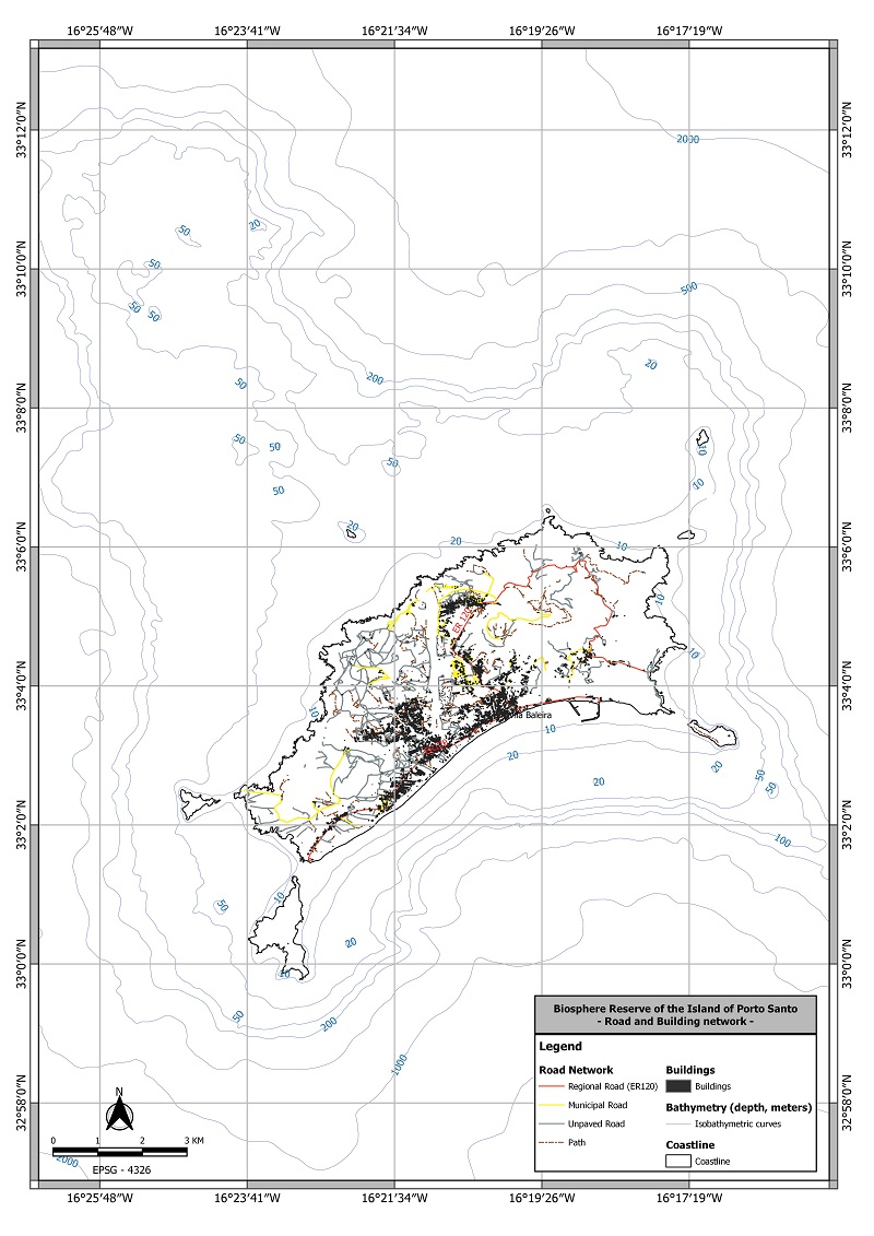
Map of the road and buildings network of Porto Santo