")
")
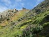
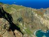
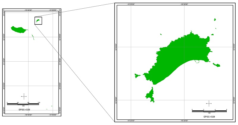
The proposed Biosphere reserve is located in Portugal, in RAM, in the archipelago of Madeira and corresponds to the subarchipelago of Porto Santo.
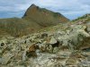
The proposed Reserve includes all the land surface of the Island of Porto Santo and the six surrounding islets, the highest point being located in Pico do Facho (517m) to which is added the surrounding maritime area to the 100m bathymetric line, corresponding to the insular shelf. The total area is 27310.54ha, according to projection system WGS84 (EPSG:4326).
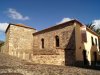
Before visiting Porto Santo Island, we provide some maps that will allow you to get a sense of this paradise. We highlight the fact that the maps are not updated and mention "Cidade Vila Baleira" when it is actually Porto Santo city. The development of new maps will be one of dasafios to Porto Santo Biosphere Reserve.